Peterborough Blogs
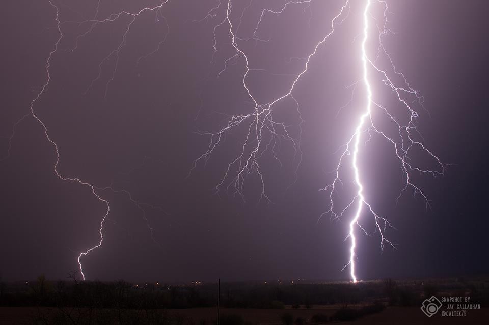
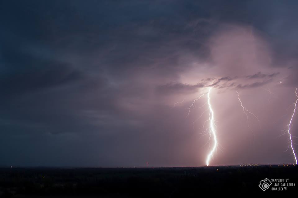
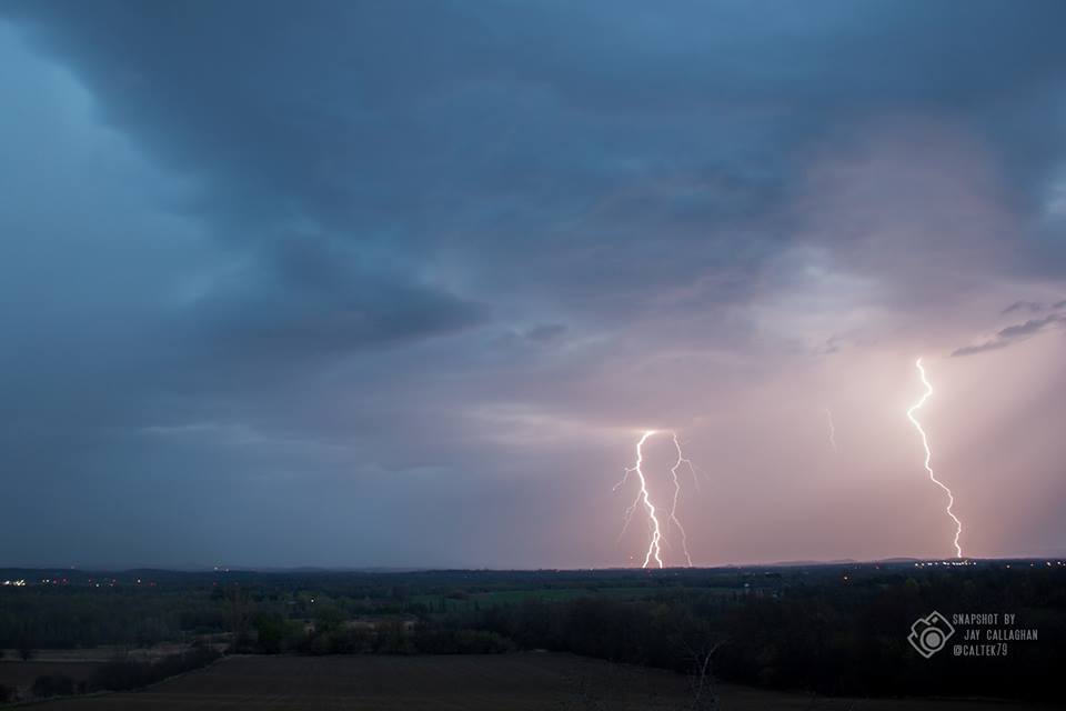
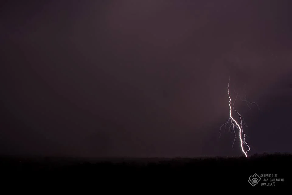
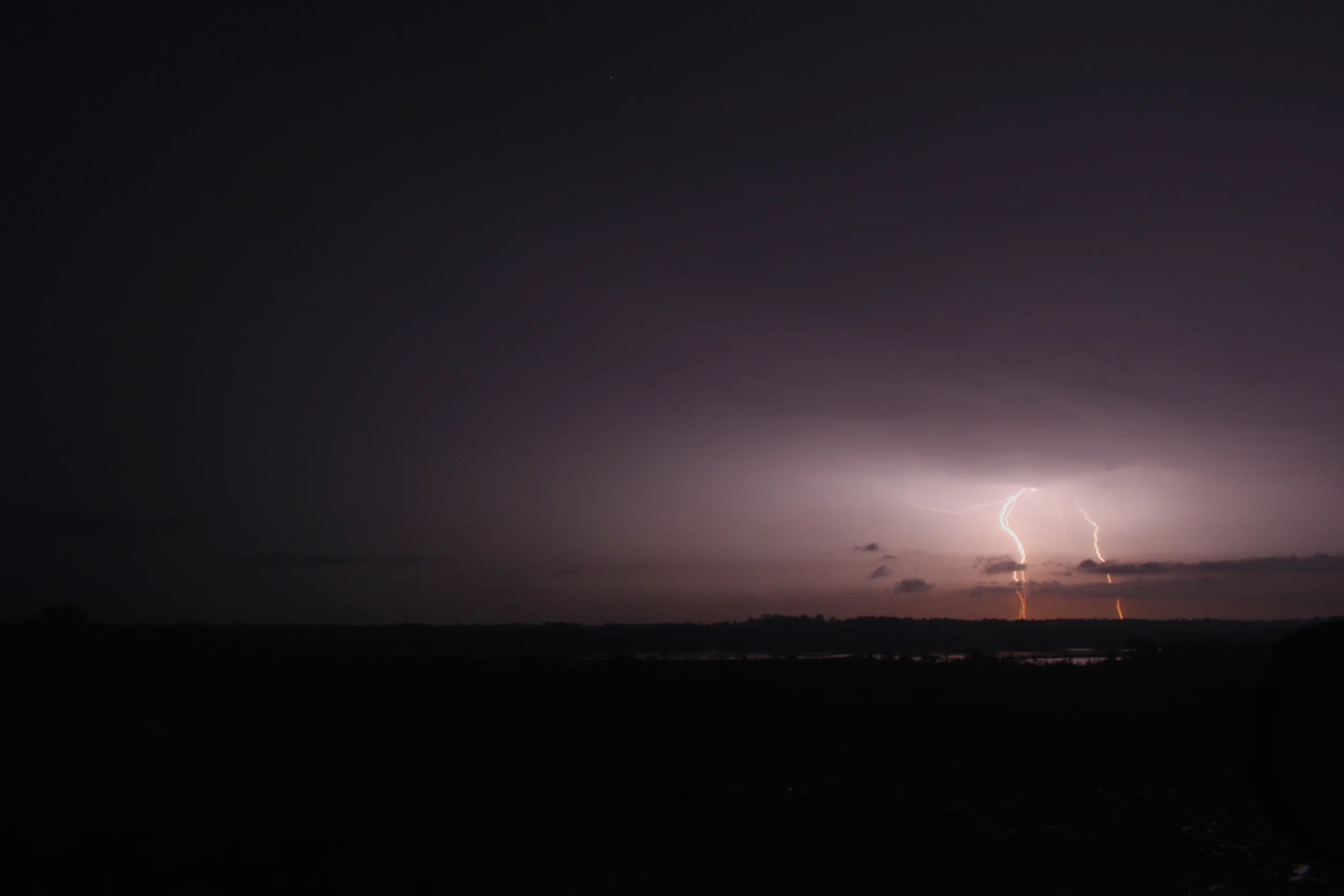
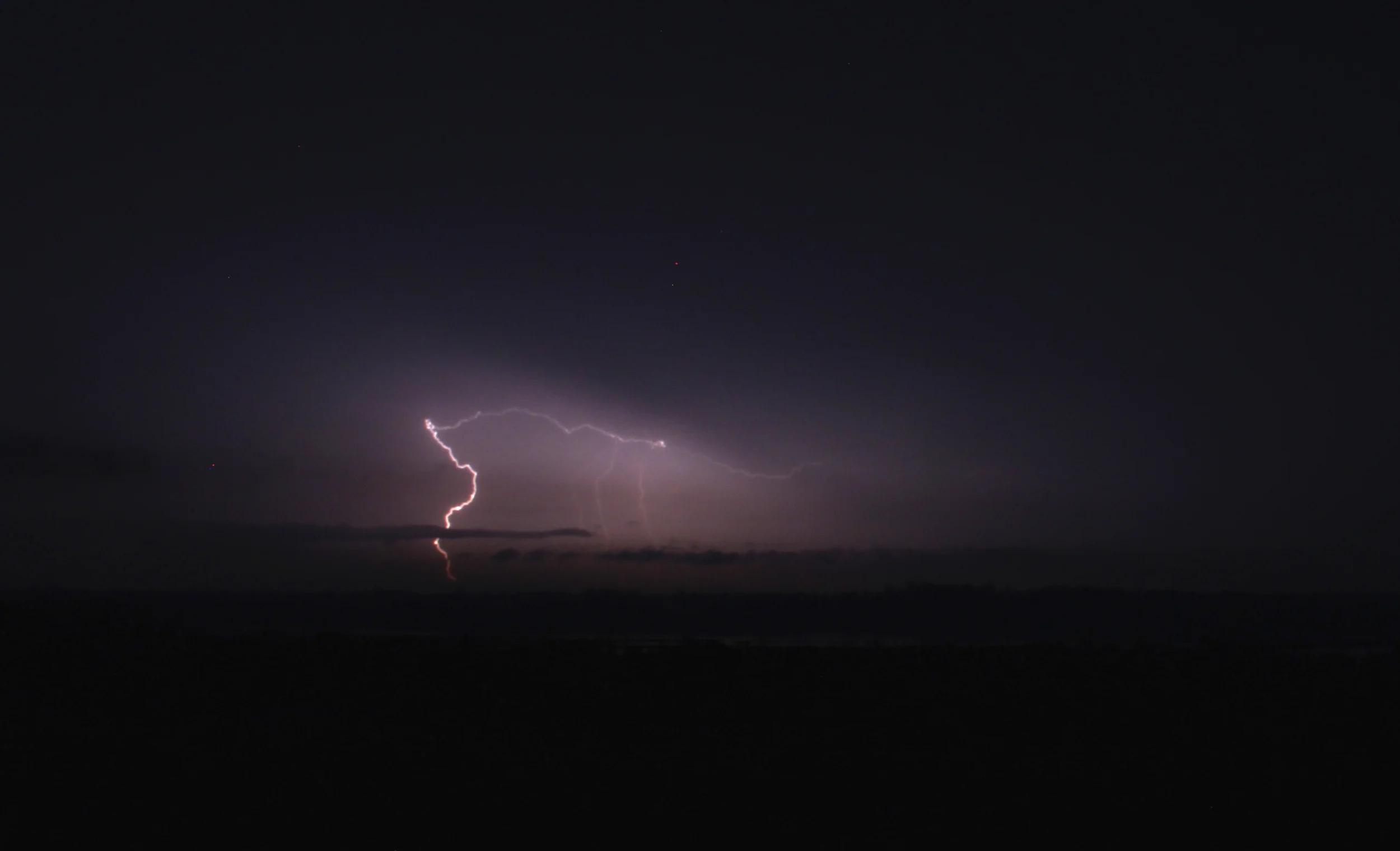
There was quite a lighting show Thursday night (April 27th) in Peterborough, and local weather photographer Jay Callaghan captured stunning pictures that he posted to his Facebook page CaltekDesign.
UPDATED: Major Winter Storm Possible, We Could See Up To 15 Centimetres Of Snow
/UPDATED Monday, March 13th: An update from Environment Canada
-> Total snowfall amounts of 10 to 15 cm are expected by Wednesday.
-> Snow will develop this evening or overnight and continue into Wednesday morning.
-> Northeast winds gusting to 50 km/h are also expected Tuesday resulting in localized blowing snow. Travel conditions Tuesday into Wednesday morning may be hazardous as a result of snow and blowing snow.
-> Snow will taper to scattered flurries Wednesday as the low pressure system moves east.
----------------
ORIGINAL POST
Spring may be days away, but don't tell that to Mother Nature. A special weather statement has been issued, with 15 to 25 centimetres possible.
Snow is forecast to begin over Southwestern Ontario during the day Monday (March 13th), then spread over much of the remainder of Southern Ontario Monday night through Tuesday. Cold Arctic air already in place over the Great Lakes will result in a dry fluffier snow, resulting in localized blowing snow as winds strengthen during the storm.
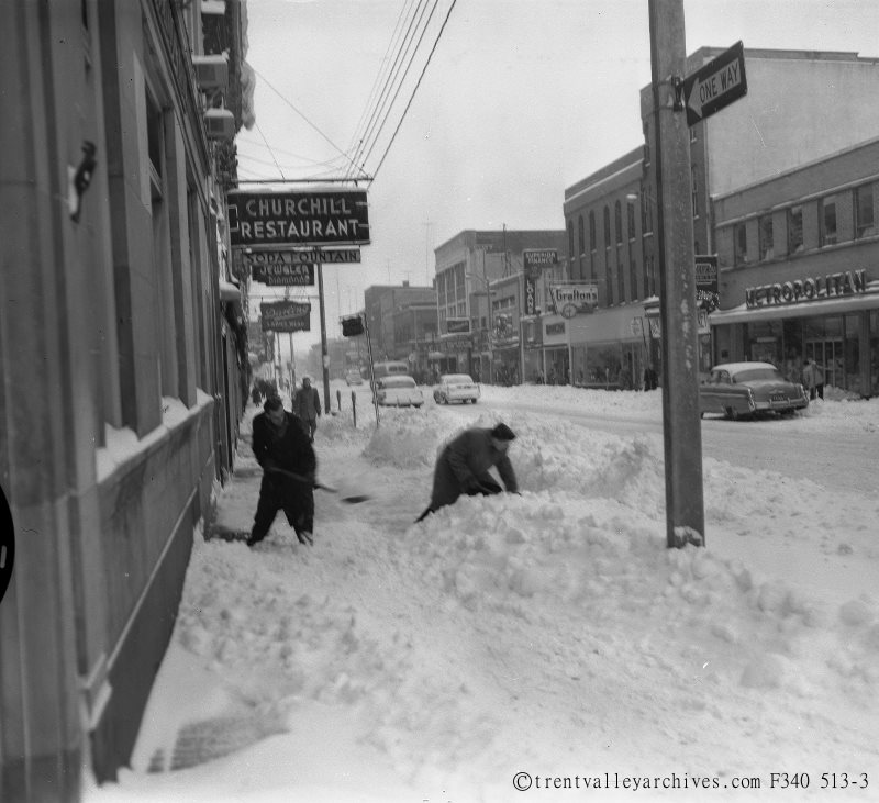
Digging out from a snowfall back in the day in Peterborough
Environment Canada says this snowstorm has the potential to significantly affect travel due to accumulating snow and blowing snow, resulting in hazardous winter driving conditions.
Let's hope Jay Callaghan is right, and we won't get hit full-on...
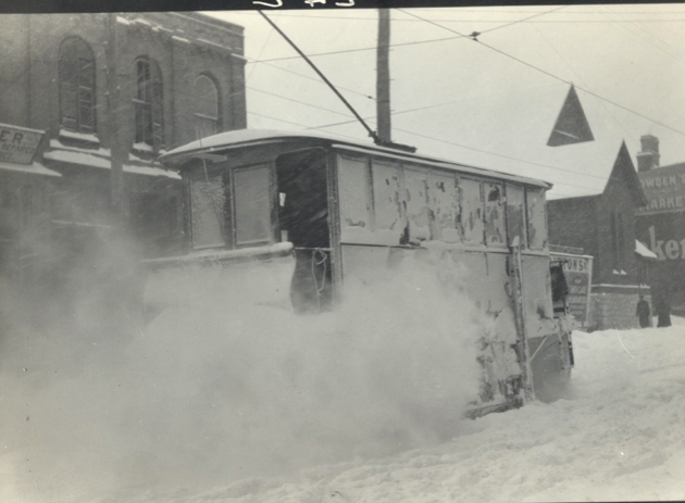
Of course, whatever the case, we have better plows now then we had back in the day to clear those roads. Here's an old school snow sweeper (see more old plow pictures here)...
How The STSCO Makes The Decision On School Bus Cancellations
/Curious what goes into the decision making for Student Transportation Services of Ontario (STSCO) in Peterborough on how they decide on school bus cancellations? In his own words, here is what Joel Sloggett—Chief Administrative Officer with STSCO—says are the key factors that goes into their thinking...
1. When it comes to bus and transportation service cancellation decision making, our priority consideration is the safety of students. The journey to school for many students involves walking to a bus stop, waiting for the bus, boarding the bus and travelling through its route on the way to school, with the opposite occurring for the afternoon ride home. Looking at this journey, safety considerations include the students walking to stops, standing along roadsides and then travelling on the bus. The bottom line is that we must collectively focus on children’s safety and err on the side of caution as necessary.
2. In terms of the steps in the decision making process, STSCO and its bus companies work together to monitor forecasts and weather alerts on a daily basis throughout the school year. When a winter weather forecast calls for inclement weather—such as significant freezing rain or significant snow and poor visibility—we are on heightened alert.
3. Bus companies and myself, or my designate, coordinate beginning at about 5:30 a.m. on the day of inclement weather. Companies have drivers and staff who are dispersed across our three county jurisdiction (Peterborough, Northumberland and Clarington) and who assist in weather monitoring. We also contact municipal roads officials when necessary to discuss the situation.
4. If it is determined that weather warrants consideration of busing cancellation for one or more of the three county areas, our goal is to post the same on our website and on social media [Twitter and Facebook] by 6:00 a.m. We also communicate such decisions to radio and television outlets so they can help get the word out.
5. STSCO’s website has a function on the main page where families can sign up for automatic alerts regarding bus cancellations and delays. This is particularly useful on days when a small number of bus routes are cancelled (as opposed to the regional cancellation) or on days when some routes are delayed for any reason—weather related or not. (Note: Sometimes individual routes have to be cancelled due to the particular area or roads travelled and an example might be routing in the far northern part of our jurisdiction where weather might be a concern while it is not in the rest of the County or area.)
6. Families can also access delay and cancellation information on our website directly by pressing on the Delay and Cancellation Exception button on the right side of the main page.
7. It should be emphasized again that all involved in inclement weather decision making are committed to ensuring safe transport of students while also understanding that any cancellation decisions have an impact on families as arrangements need to be made to ensure young children are taken care of during the cancelled transportation day. Over the years, bus companies and ourselves have done the best job possible in making the right decisions and meeting expectations for getting students to school safely.
—Joel Sloggett, STSCO
Engage with us on social media on Twitter, Instagram, Facebook and Snapchat (ptbo_canada). Write to us at tips@ptbocanada.com. Sign up for PTBOBuzz newsletter here. Watch our PTBOCanada Love video here.
Look At These Pictures & Timelapse Of A Lightning Show Near Peterborough
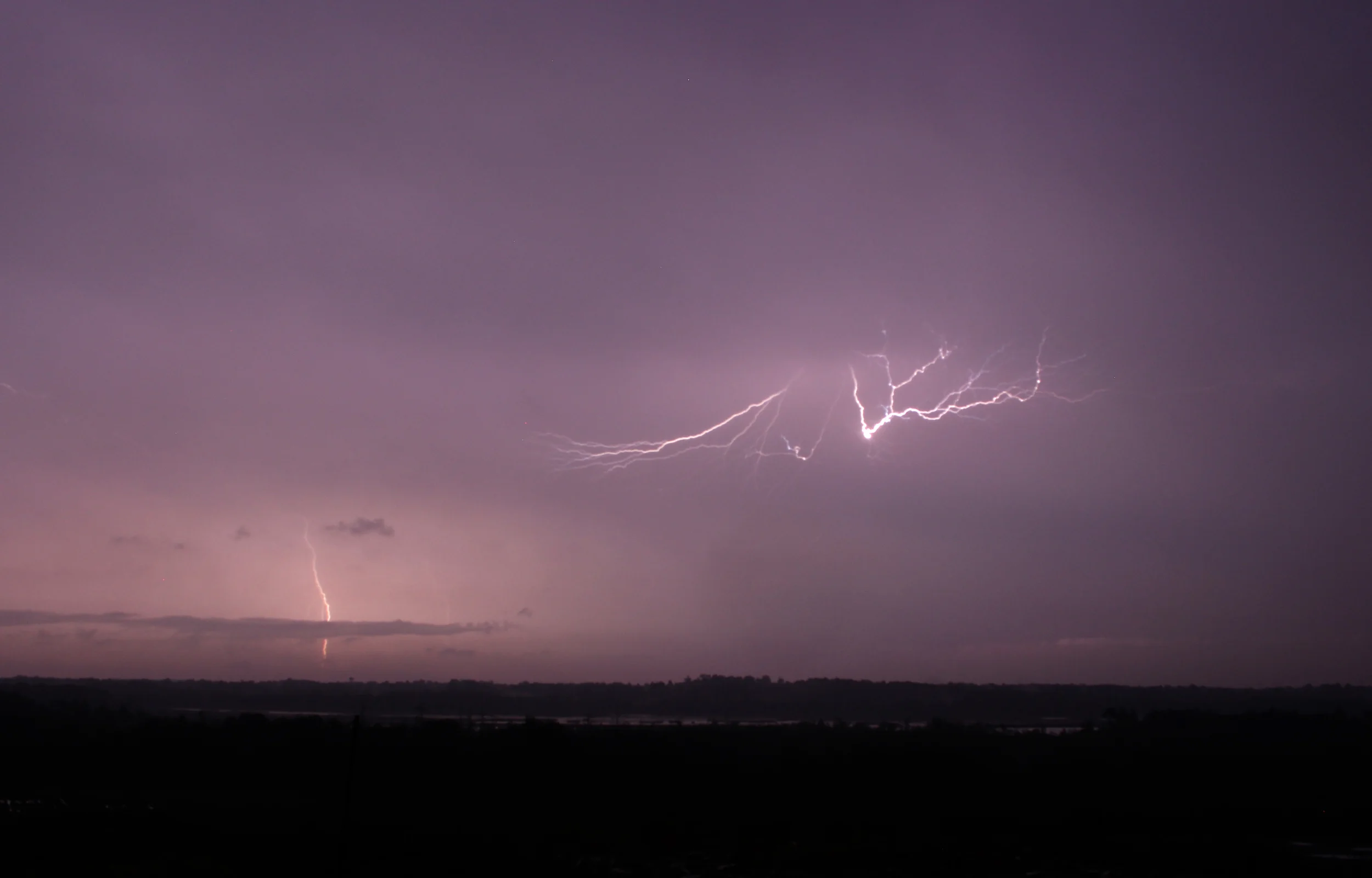
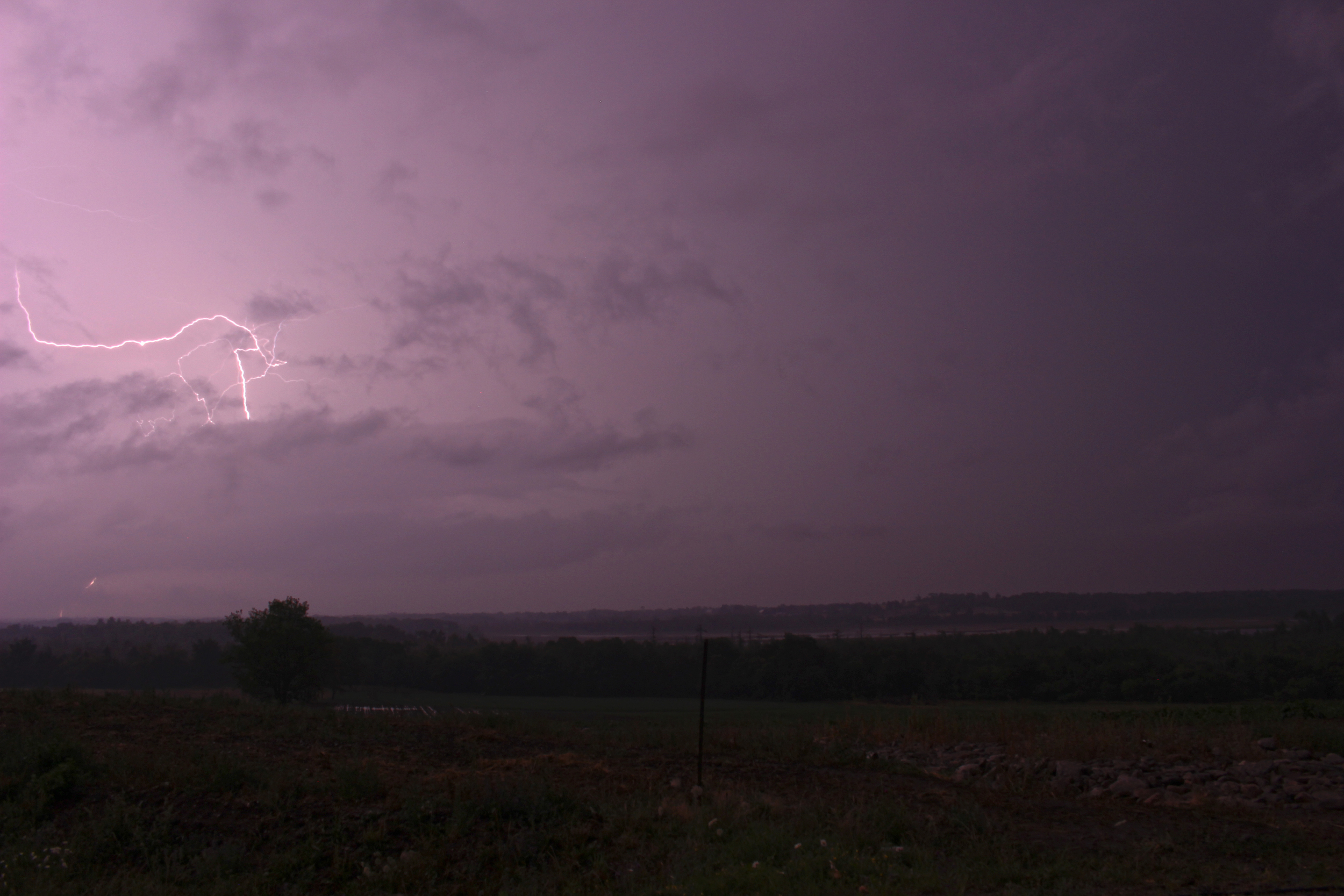
/Lakefield's Tim Rollwagen captured dramatic pictures and video of the intense lightning show that happened early Monday morning (July 25th) that shows the extent of the lightning storm.
Photo by Tim Rollwagen
Rollwagen tells PTBOCanada the photos and video were taken just off Hwy 28 between Lakefield and Peterborough where the Leahy's fruit and vegetable stand is at County Rd 33, and overlooks a small marshy lake called Buckley Lake.
Photo by Tim Rollwagen
"It was one of the best lightning shows I've seen in quite awhile," Rollwagen tells PTBOCanada. "Usually it's hard to get a few good shots but Mother Nature made it easy last night and I had the right vantage point."
Photo by Tim Rollwagen
"I shot the pictures from inside the car out a window," Rollwagen tells PTBOCanada. "Me and this hill have a history...as you know." (The history Rollwagen is referring to can be read about in this post from summer 2014.)
Photo by Tim Rollwagen

