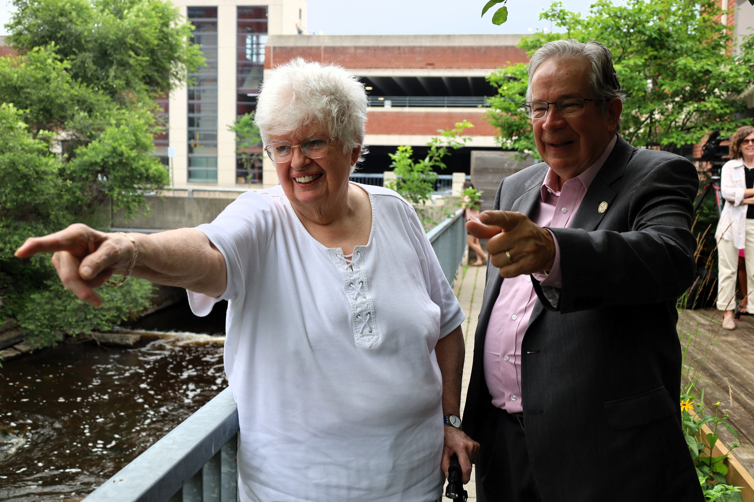
The 20th anniversary of the 2004 Flood, which devastated Peterborough, saw the City reflect and recognize the milestone at the Engage Engineering courtyard on Monday morning.
Since the incident, the City of Peterborough has made significant investments in flood mitigation and climate adaptation and discussed its progress at the event according to a press release.
The City has launched an interactive story map online to commemorate the anniversary and provide residents with an engaging way to learn about the 2004 Flood and subsequent investments in flood mitigation infrastructure.
“I will never forget seeing the widespread damage across the city on July 15, 2004,” said Leal. “As a newly elected MPP I was deeply concerned about the wellbeing of Peterborough residents who were facing incredible adversity.
On July 14 and 15, 2004, Peterborough received up to 220 mm of rain in nine hours. It consisted of 10 billion litres of rain which is equal to 9,615 filled Lift Locks and the same as two-and-a-half days of flow on the Otonabee River.
The resulting flooding caused substantial damage to municipal infrastructure and ruined basements in homes in town.
“What happened in the following days was inspirational; neighbours helped one another, volunteer organizations converged to help with recovery efforts and all levels of government provided support. The overwhelming support from emergency responders across the province allowed our community to recover faster than expected,” saidd Leal. “The 2004 Flood was a turning point in the City’s investment in flood mitigation infrastructure and today we are much more resilient to the impacts of climate change.”
The 2004 Flood served as a critical turning point in how the City of Peterborough addressed the inherent risks of flooding, putting the City on the pathway of long-term climate adaptation according to a press release.
They released a Flood Reduction Master Plan and identified the Central Area Flood Reduction project as a top priority. The project was completed last year with support from both the provincial and federal governments.
The City says it used advanced technology to map flood-risk areas and make informed decisions about infrastructure investments, including traditional stormwater infrastructure and natural infrastructure, such as trees, watercourses and wetlands.
The historical development of our City in flood-prone areas, combined with the increasing risk of high-intensity rainfall, means the City’s flood reduction journey is far from complete as stated in a press release.